The room goes quiet when the map finally hits the table
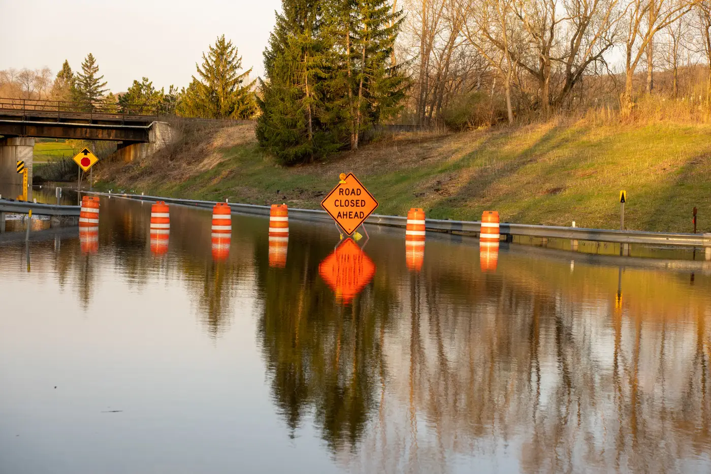
You know the sound of an EOC before the extent map arrives. It's a particular kind of busy: three radios going at once, somebody's phone buzzing against a laminated county map nobody trusts anymore, a duty officer standing at the whiteboard with a marker that's slowly drying out because they keep picking it up and putting it back down without writing anything. There's nothing yet worth committing to the board.
Reports are coming in from four townships and they all disagree. Road X is passable, says one caller. Road X is under two feet, says the next one, forty minutes later. Nobody's lying. The water's just moving.
Then someone sets a printed sheet on the table, or pulls it up on the shared screen, and the room changes. People don't cheer. The chatter drops by half, three people lean in at once, and somebody says "okay" in the tone that means the argument about which road crew to send is over.
That's the moment this job is built around, and it's worth noticing because it tells you what the map is actually for. The duty officer standing at the whiteboard already knows the flood is bad. What they're waiting on is something that ends a specific disagreement fast enough that the next decision can get made.
I've sat through the version of this where the extent isn't ready yet. Where the GIS person is three hours into hand-tracing a waterline off whatever satellite pass or oblique photo came in, zoomed to a scale that makes their eyes hurt, and the duty officer keeps walking over to ask "how close are we." Three hours doesn't sound long until you're the one deciding whether to pre-position a swift-water team on the east side or the west side of a river that's still rising. By hour three, the crew you'd have sent at hour one is now driving through water they didn't know was there.
What's changed, for the sites that have adapted, is less about the map being prettier and more about it showing up while the decision is still live. A standing-water extent, numbered and dated, handed over as a situation brief rather than a GIS layer somebody has to translate. The room needs something it can act on in the next five minutes. There's a difference between a product that's technically accurate and one that's legible at a glance to someone who's been awake for eighteen hours and has four more calls waiting. The second kind is rarer than it should be.
The honest caveat, and anyone who's done this work knows it already, is that the map is only as fast as the next cloud-free look. Satellites don't care about your incident timeline. Sometimes the first usable pass is six hours after the levee goes, sometimes it's the next morning. That's a real constraint, not a sales pitch, and anyone promising otherwise hasn't stood in that EOC. What you can control is what happens the moment the imagery does come in, and whether the turnaround from "we have a pass" to "here's your extent" is measured in hours or in a full shift. Rapid Flood Mapping exists for that second part specifically, the gap between the pass landing and the brief hitting the coordination table.
The quiet moment when the map lands is really about every decision that was stuck behind it finally having something solid to stand on. If your shop still measures that gap in shifts instead of hours, it's worth seeing what a numbered extent brief looks like the next time the water's rising.