Rapid Flood Mapping
Blog
- 18
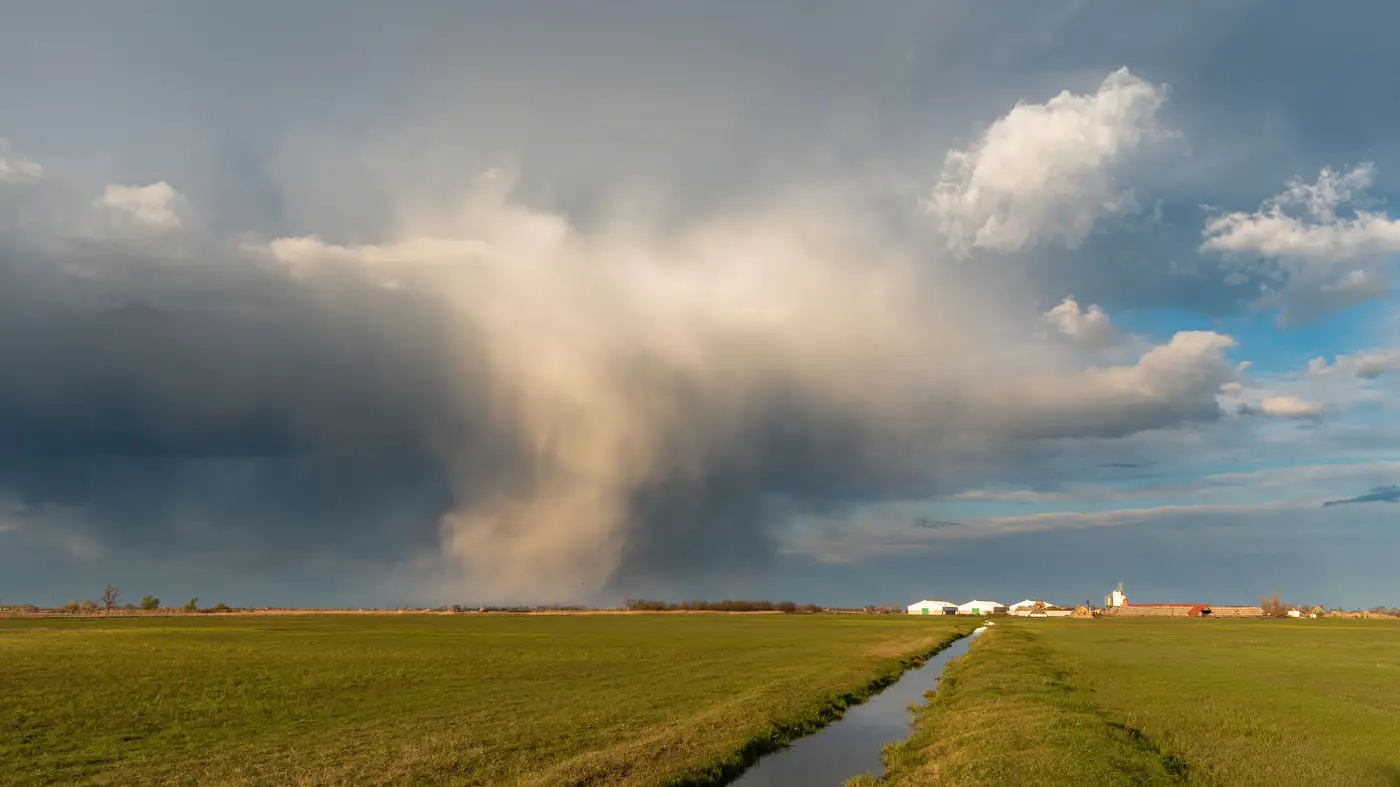 Field notes: the week two rivers crested the same night and only one got a fresh pass
A duty officer's field notes on the night two rivers crested together, and why only one basin got a usable satellite pass before the water moved.
- 17
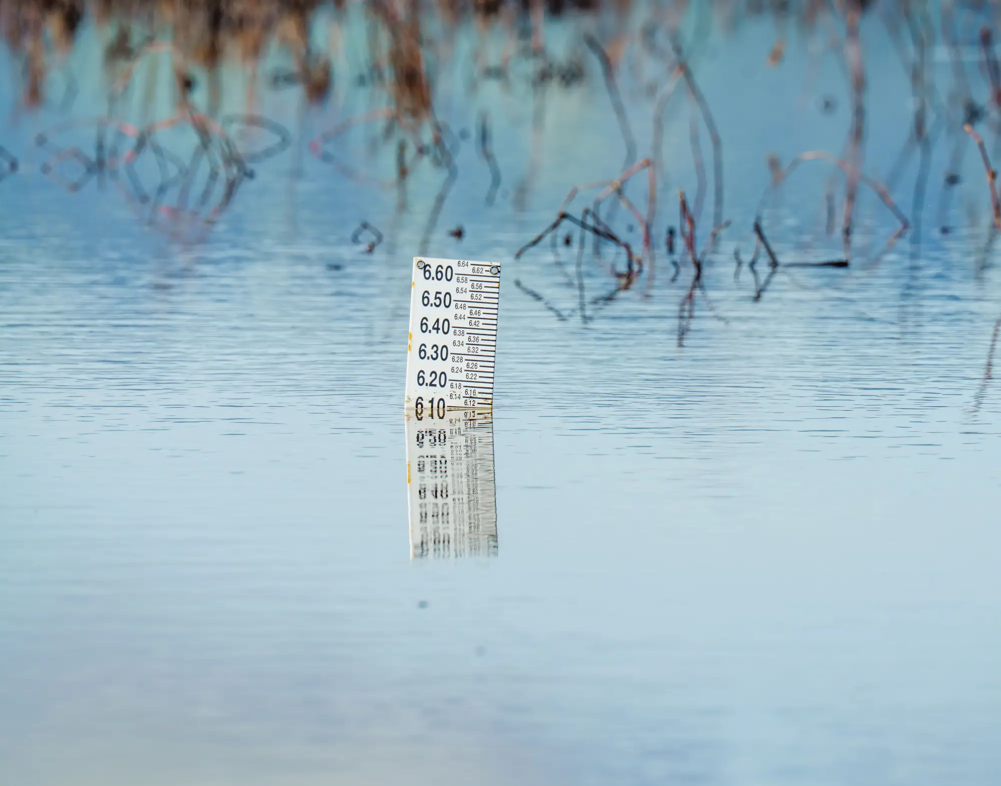 Ground sample distance for flood extent maps: what resolution matters
What GSD actually gets you a usable flood extent map, and why medium-resolution imagery beats high-res when the water is still up.
- 16
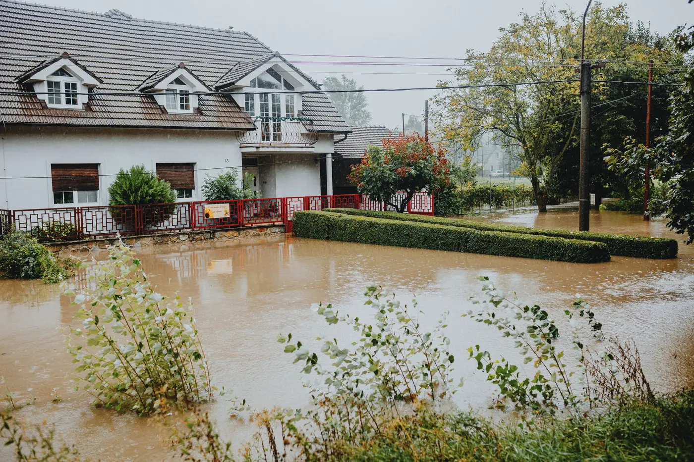 How to prioritize water rescue teams using a flood extent map
How duty officers read a flood extent map to sequence swiftwater rescue crews and decide which neighborhoods get boats first.
- 15
 False negatives in a flood extent map and what they mean for evacuation calls
A duty officer's look at false negatives on satellite flood maps: what causes missed water, and how to read the map before calling evacuations.
- 14
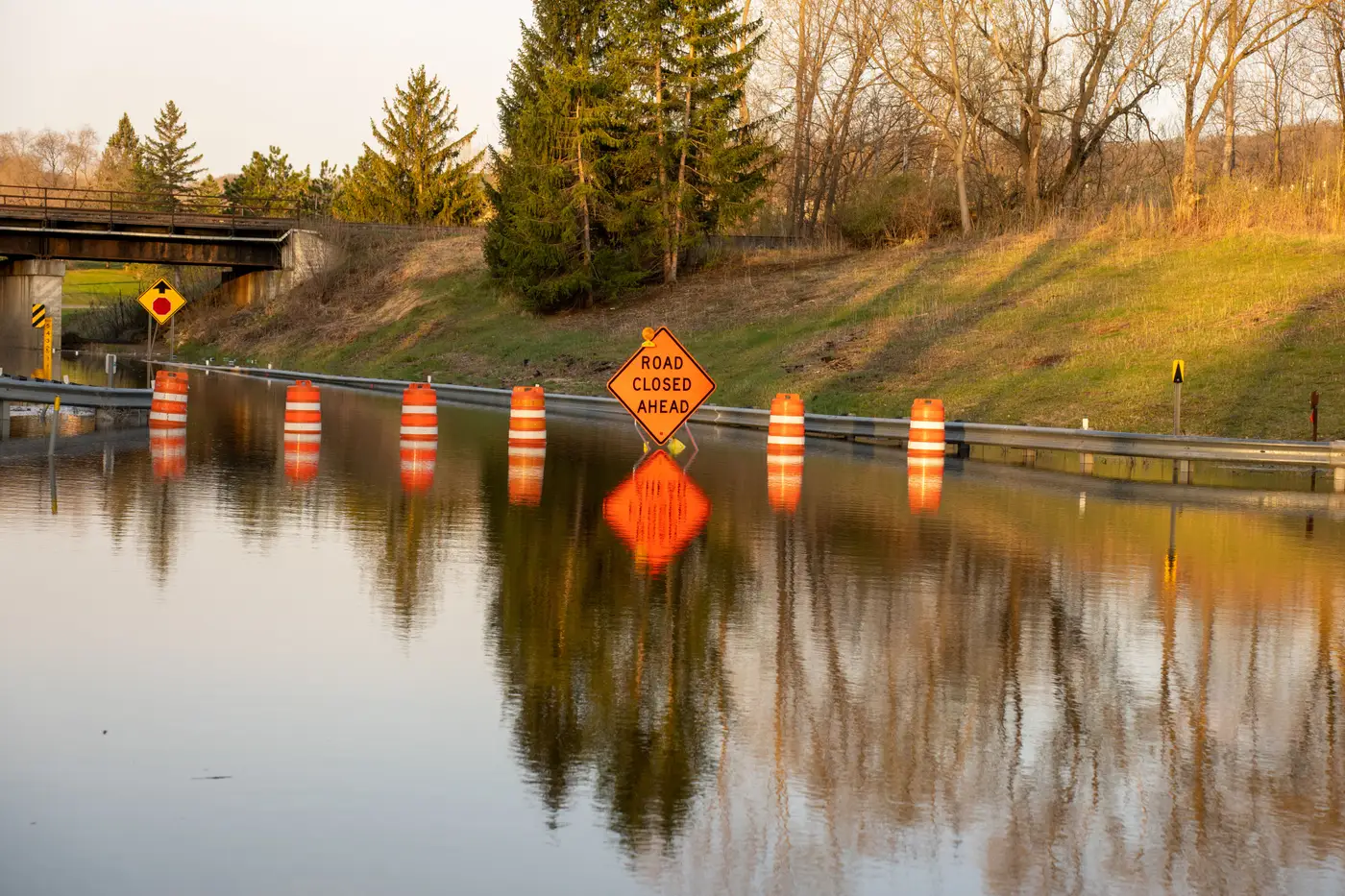 The room goes quiet when the map finally hits the table
A field-notes look at the moment an EOC stops arguing and starts working, and why that moment usually arrives too late.
- 13
 What is a common operating picture in flood response?
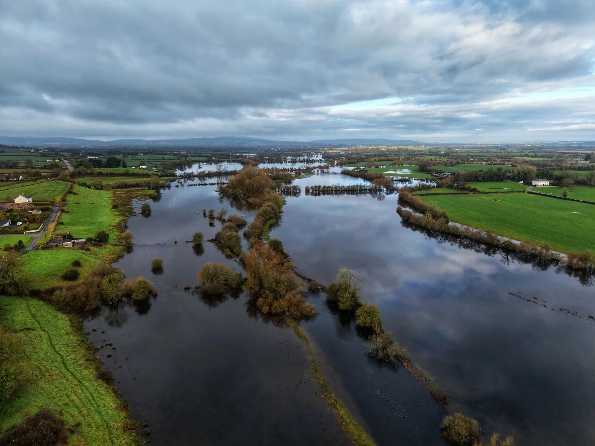
A plain-language look at what a common operating picture is in flood response, what belongs in it, and where it tends to fall apart.
- 12How to read a flood extent map without a GIS background
A duty officer's plain-language guide to flood extent map legends and standing water polygons, and what the shapes mean under pressure.
- 11Standing water extent vs. flood depth: what a flood map shows
Extent maps show where water is, not how deep. Here's the difference between flood extent, inundation extent, and flood depth, and what a map tells you.
- 10
 Field notes: the night shift that waited for the sky to clear
A duty officer's account of the long overnight wait for a cloud-free satellite pass during a flood response, and what happens once it finally arrives.
- 09How to request emergency satellite tasking after a flood event
A duty officer's walkthrough of emergency satellite tasking after a flood: who to call, what to have ready, and why the first look still takes time.
- 08How to request emergency satellite tasking after a flood
A duty officer's guide to requesting emergency satellite tasking after a flood: who to call, what tasking really buys you, and where the delay hides.
- 07
 Levee breach vs. levee overtopping: why the difference changes your response
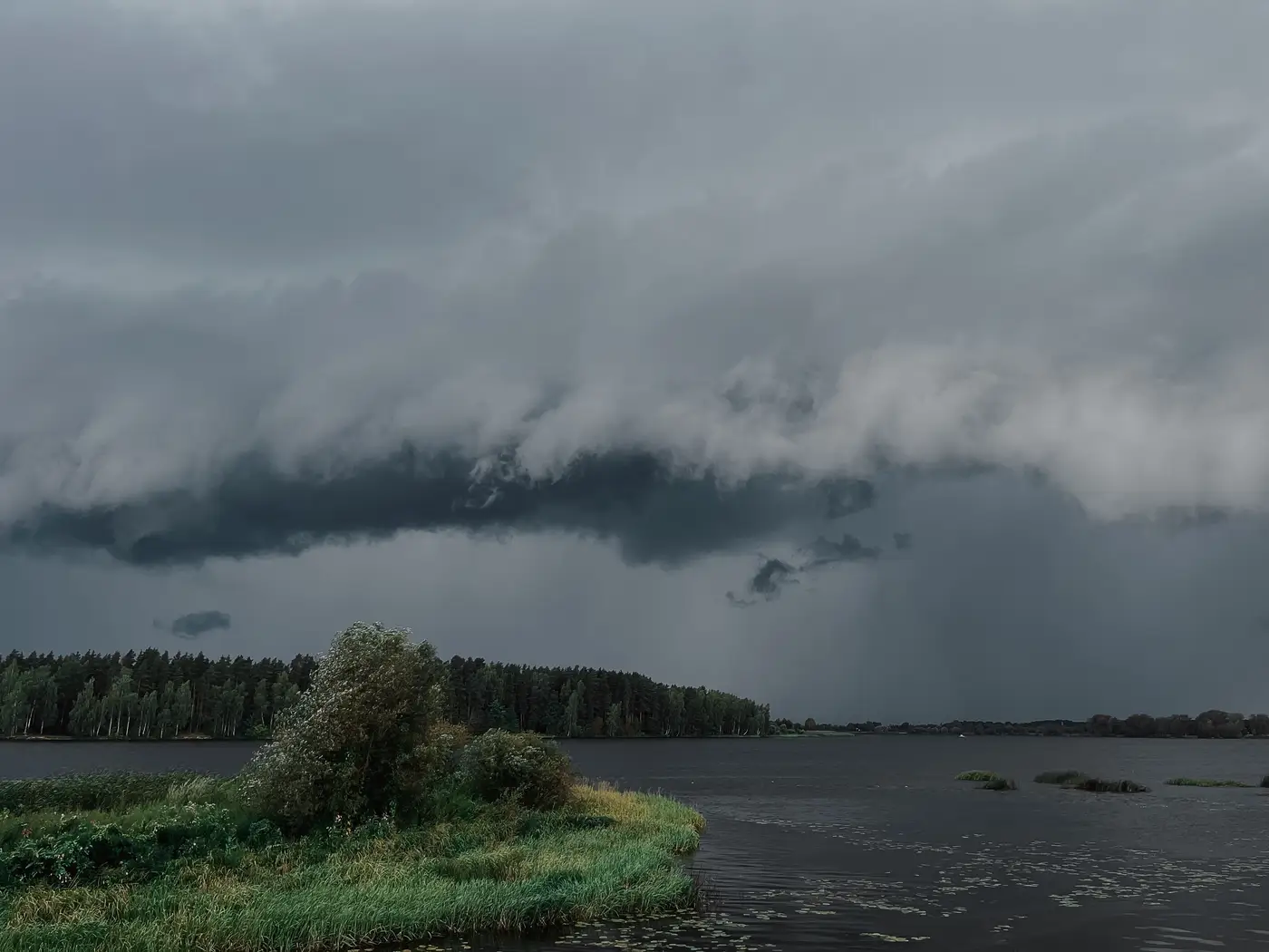
Breach or overtopping: the two levee failure modes look similar on a scanner but call for different evacuation and resource decisions.
- 06Flood extent maps vs hydraulic models: what a duty officer actually needs
Hydraulic models forecast where water should go. Flood extent maps show where it already is. Here's the difference during a live event.
- 05How to brief incident command off a flood extent map
A duty officer's guide to turning a flood extent map into a brief incident command and coordination staff can use in the room.
- 04Flood extent maps vs river gauge data: what tells you where to evacuate
Why a river gauge triggers the evacuation call but can't show you where the water actually sits, and what a flood extent map adds once imagery clears.
- 03Optical vs. SAR for flood mapping: picking the right imagery when skies won't clear
A duty officer's guide to optical vs SAR flood imagery: how radar sees through storm clouds, where optical still wins, and how to choose fast.
- 02What is a cloud-free pass in satellite flood mapping?
Cloud cover, not revisit time, is usually why flood imagery runs late. What a cloud-free pass is and what shortens the wait.
- 01What a numbered situation brief is, and why duty officers use one
A plain look at numbered situation briefs in flood response: what the number tracks, how a SITREP numbering convention works, and why it saves a shift.