How to brief incident command off a flood extent map
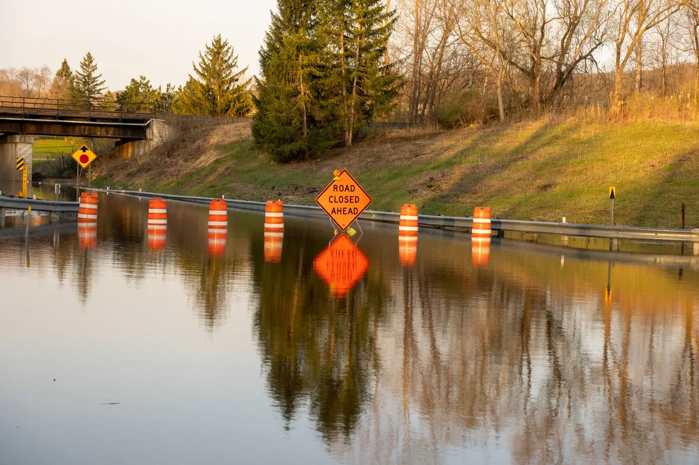
You've got the map. The briefing starts in ten minutes. Incident command doesn't want to see a raster with a blue overlay, they want to know what it means for the next operational period.
A flood extent map is only useful if someone turns it into sentences people in the room can act on. Here's how that works when you're the one standing up at the front.
What incident command wants off the map
In a unified command briefing, you rarely get time to narrate polygon edges. The room wants four things, in this order: the headline number (square kilometers or hectares under water, whichever your jurisdiction uses), what changed since the last brief, which access routes are cut, and how confident you are in the line itself.
That last part gets skipped more than it should. If the imagery is six hours old and the river's still rising, say so before someone commits a swift-water team based on a waterline that's already moved. "This extent is from the 06:40 pass, conditions upstream suggest the line has shifted since" takes one sentence and saves a lot of second-guessing later.
Reading the brief in the room
Lead with the number, follow with the trend, then flag the gaps, in that order, every time, so people learn to expect it and stop interrupting to ask.
A rough script: "Brief four, current as of 09:15. Standing water now covers roughly 40 square kilometers across the Avon and Carlyle catchments, up from 31 at brief three. Two bridge crossings on Route 9 remain impassable. Cloud cover over the southern third of the AOI means we don't have a clean read there yet, next pass is expected this afternoon."
That's thirty seconds. It tells the room what's new, what to trust, and what's still missing. Compare that to handing someone a printed satellite image and letting them squint at it during a meeting that's already running long.
Handing it off to response coordination
The map and the brief are two different deliverables, and coordination staff need both. The GIS layer (shapefile or GeoJSON) goes to whoever's maintaining the common operating picture. The one-page summary, scale bar, acquisition timestamp, a short note on sensor and cloud coverage, goes to the planning section and anyone drafting the incident action plan.
Don't make the coordination cell reinterpret raw imagery on the fly. They're already pulling road closures, shelter counts, and resource requests from six other sources. A numbered brief they can cite directly ("per Brief 3, the extent along Route 9 had not changed") is worth more to them than a prettier map with no context attached.
This is the gap Rapid Flood Mapping is built to close: as soon as a cloud-free look comes in after the event, it turns the imagery into exactly that kind of numbered situation brief, ready to hand to coordination instead of a raw scene someone has to delineate by hand first.
A few things that trip people up
Treating the extent line as fixed ground truth is the most common one. It's a snapshot from a specific pass at a specific time, not a live gauge reading. Say when it was taken.
Reading the area number without the prior brief next to it is the second. A standalone figure tells you almost nothing. The delta tells you whether the event is still growing or has started to recede.
Skipping the numbering is the third. If your brief isn't labeled and timestamped, the next shift can't cite it accurately two changeovers later, and you'll end up fielding the same questions twice.
Get those three right and the rest of the briefing takes care of itself. The map did the hard part. Your job is just to say it plainly, in the order the room expects.