How to prioritize water rescue teams using a flood extent map
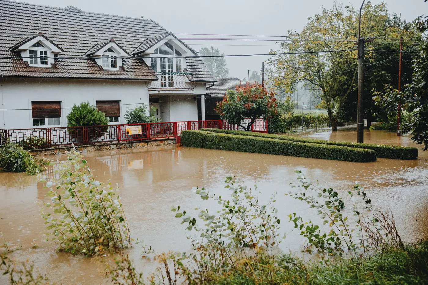
When the water's still rising and the phones won't stop, the hardest call a duty officer makes isn't "do we deploy boats." It's "which three neighborhoods get them first." A flood extent map, read right, turns that guess into a sequence you can defend at the after-action review.
Use the extent map you have the moment you have it. That means pulling crews off streets that already drained and pushing them toward the block that went from ankle-deep to roofline in the last two hours.
What the extent map actually tells you
A standing-water extent map shows where water sits right now. That current-state read is the whole value, a fresh picture instead of a forecast or yesterday's gauge reading.
Overlay that extent against three things you already have in your GIS or your paper binder, and the rescue sequence mostly writes itself:
- Road network: which streets into a flooded pocket are still passable for a truck versus only reachable by boat. A neighborhood cut off from vehicle access jumps the queue even if the water depth there is moderate, because your window to stage equipment is closing.
- Population density and housing type: single-story slab homes in standing water behave very differently than a two-story block where residents can shelter on an upper floor and wait. Density matters more than raw acreage flooded.
- Known vulnerable sites: nursing homes, dialysis clinics, group homes. If the extent map shows water has reached the parcel boundary of any of these, that address moves to the top of the list regardless of what else is on the board.
That doesn't require new software, just the extent polygon landing fast enough that you're sequencing crews off this flood, not the last one.
Sequencing swiftwater crews when every minute counts
The triage logic that holds up under pressure is roughly: deepest water plus cut-off access plus vulnerable occupancy beats deep water alone. A two-foot-deep street with clear truck access and no medically fragile residents can wait twenty minutes. A street with knee-deep water but an isolated senior living facility can't.
Practically, that means building the day's boat assignments in tiers rather than a flat priority list:
- Confirmed isolation plus vulnerable population inside the current extent boundary.
- Confirmed isolation, general population, inside the extent boundary.
- Partial access by truck, water still rising based on the last two extent reads.
- Areas where the extent has started to recede and truck access is intact.
Crews move down that list as tier one clears, and the extent map gets re-checked against it as soon as a fresher pass is available. If the geometry hasn't moved much in two hours, that's useful too: it tells your incident commander the event has plateaued and crews can be reallocated to search patterns instead of held in staging.
One thing worth flagging to anyone reviewing this after the fact: an extent map is a snapshot. It doesn't tell you current depth, current flow, or whether a street that was dry an hour ago has since gone under. Pair it with field reports from the first boats in, and update the tiers as those reports come back. The map gets you to a defensible starting sequence fast. It doesn't replace the radio traffic once crews are on the water.
The one input that usually breaks this whole process is speed: if the extent map doesn't exist, or exists but took six hours of someone tracing imagery by hand before the IC ever saw it, your dispatch board is working off old information for most of the event. A same-day extent delivery built specifically for this handoff, a numbered brief you can read into a briefing in under a minute, is what closes that gap.
If your duty roster needs that turnaround on the next event rather than the last one, that's exactly what Rapid Flood Mapping is built to hand you.