How to request emergency satellite tasking after a flood
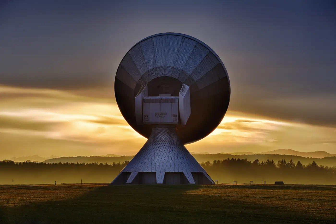
When the water's still rising and the EOC is standing up, "just get me a satellite picture" is the instinct. The reality is messier: tasking a satellite is a request that has to go through a channel, wait on an orbit, and then still needs someone to turn pixels into something a planning section can use. Here's how the request works, and where the time really goes.
Who to call first
For a lot of jurisdictions, the first call goes to the International Charter Space and Major Disasters, activated through your national disaster management authority or civil protection focal point. The Charter pools tasking across member space agencies and commercial partners for major declared disasters, free of charge, but activation has to come through an authorized user, usually at state or national level, not directly from a local EOC.
In Europe, Copernicus Emergency Management Service (Copernicus EMS) does something similar for mapping: rapid mapping activations can be triggered by a designated authorized user for a flood, wildfire, or other disaster, and EMS tasks the imagery and runs the mapping internally.
If you're not covered by either, or you need something faster or more targeted than a Charter or EMS activation allows, commercial tasking providers (Planet, Maxar, Airbus, ICEYE, and others) will take a direct order if you have an account and budget already in place. That last part matters: setting up a tasking account mid-event, with procurement and legal in the loop, eats hours you don't have. If your agency works floods more than once a decade, that account should exist before the water comes up.
What "tasking" actually buys you
Tasking means pointing a satellite at your area of interest on its next pass and asking for a fresh image. It does not mean an image shows up in the next hour. A few things stand between the order and a usable picture:
Revisit time. Most optical satellites pass over a given spot every one to several days. Tasking moves you up the priority queue for that pass; it doesn't change when the satellite is physically overhead.
Cloud cover. A flood event almost always comes with weather. Optical sensors need a clear look at the ground, and if the storm system that caused the flood is still sitting over your AOI, you wait for the next pass, and the one after that. This is the single biggest reason "I requested imagery" and "I have a usable map" are separated by a day or more. Radar (SAR) tasking gets around cloud cover, which is why Charter and EMS activations lean on it heavily for flood response, but SAR imagery needs its own processing before standing water is visible as standing water rather than noise.
Processing. A raw scene isn't a flood extent map. Someone, a GIS analyst at EMS, a Charter project team, or your own GIS shop, still has to delineate the water, clip it to the area that matters, and put it in a format a duty officer can hand to response coordination. That step gets skipped in a lot of people's mental model of "getting imagery fast," and it's usually the slowest part.
Making the request count
When you submit a tasking request, through the Charter, EMS, or a commercial desk, have ready: a defined AOI as a shapefile or bounding box, the event type and date, your point of contact, and whether you need optical, radar, or either. A tight AOI gets prioritized faster than a vague one, and knowing upfront whether cloud cover rules out optical saves a wasted first pass.
None of this replaces having a plan before the event. Our landing page describes a standing approach built for exactly this moment: a flood extent map delivered as soon as a cloud-free, or radar, look comes in, handed over as a situation brief instead of a raw scene someone still has to interpret.
If your activation channel is already pulling imagery, we can take it from there and turn it into the map your coordination desk needs.