Ground sample distance for flood extent maps: what resolution matters
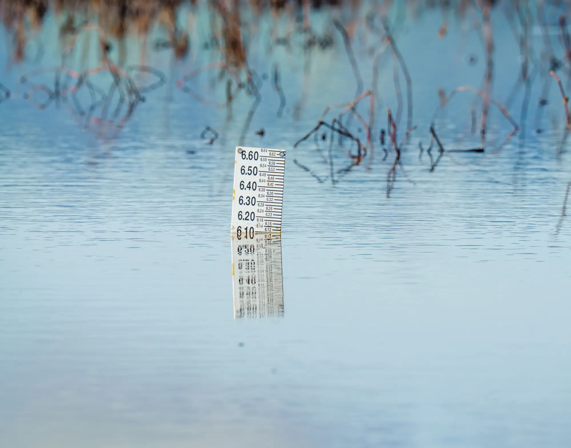
Someone on the imagery procurement call always asks it eventually: what resolution do we need. Usually it comes up right after a tasking request gets kicked back for being too narrow, or after someone pulls a gorgeous 50 cm image that turns out to be three days away from being cloud-free. So here's the straight answer for flood extent work specifically, because extent mapping has different needs than damage assessment or debris counting.
GSD, in the terms that matter during a response
Ground sample distance is the size of the ground that one pixel covers. A 5 m GSD image means every pixel represents a 5 m by 5 m patch on the ground. Fine for telling you whether that patch is wet or dry. Not fine for telling you what kind of mailbox is standing in it.
A flood extent map answers one question across a wide area, repeated pixel by pixel: is this ground underwater, yes or no. That's a different job than identifying roof damage, counting vehicles, or reading a license plate off a flooded driveway. It needs enough pixels covering enough ground, captured soon enough after the water came up, to still mean something.
Why 3 to 10 m is the working range, not a compromise
Medium-resolution multispectral imagery in the 3 to 10 m range is what most publicly available and commercially tasked satellites deliver on a usable revisit cycle during an active event. That matters more than people expect, because the binding constraint on a flood extent map is almost never pixel size. It's whether a cloud-free pass exists at all. Flood events come with cloud cover by definition. The storm that caused the flood is often still clearing out when you need the image.
High-resolution sensors (sub-meter to a couple of meters) do exist, and they're genuinely better for close-in work like inspecting a specific levee breach or confirming structure damage on a named street. But they typically run on narrower swaths and tighter tasking windows, which means you're competing for a slot and waiting longer for the next clear pass. During a live response, that wait is the cost, and it's a cost measured in hours you don't have.
Coarser imagery, past 10 m, starts to blur the boundary itself. Narrow river channels, levee overtopping, and standing water in low-lying residential blocks can all get smoothed into something that looks like a uniform gray zone instead of a shape you can trace with confidence.
3 to 10 m sits in the middle for a reason. It's fine enough to delineate the actual extent of standing water across a county-sized area or a river basin, and coarse enough that the sensors offering it tend to have wider swaths and faster revisit, which is what gets you a usable pass sooner.
What this means for mapping accuracy
GSD and flood mapping accuracy aren't the same conversation, and conflating them is where a lot of tasking requests go sideways. Accuracy for an extent map depends on the boundary being traceable and the pass being recent, not on pixel count. A 5 m pass taken the morning after peak flooding gives response coordination something they can act on. A theoretically sharper image that lands three days later, after water has already receded in half the affected area, gives them a historical record instead of a current picture.
If your job is deciding which pixel is standing water across a whole watershed, within hours of the water being there, 3 to 10 m multispectral imagery is the resolution built for that question. If your job is inspecting one specific structure or breach, that's a different tasking request entirely, and it should go in on its own.
Rapid Flood Mapping is built around that first question. The moment a cloud-free medium-resolution pass comes in over your affected area, it turns into a standing-water extent map formatted as a numbered situation brief, ready to hand straight to your response coordination team without a GIS analyst sitting between the imagery and the decision.
If you're staging a response and waiting on the next clear pass, that's exactly the gap this fills.