What is a common operating picture in flood response?
If you've worked a watch floor during a flood event, you've heard the phrase "common operating picture" thrown around in every briefing. Everyone nods. Half the room has a slightly different idea of what it means.
A common operating picture, COP for short, is the single shared set of information that everyone involved in a response is supposed to work from. The incident commander, the EOC, the liaison from public works, the National Guard element, the county next door that just got activated under mutual aid. In theory, they're all looking at the same facts about what's flooded, who's cut off, and where the water is moving next. That's what the term means: a shared understanding of the situation that everyone's briefing from, independent of whatever software or screen happens to be displaying it.
Why it matters more in a flood than almost anything else
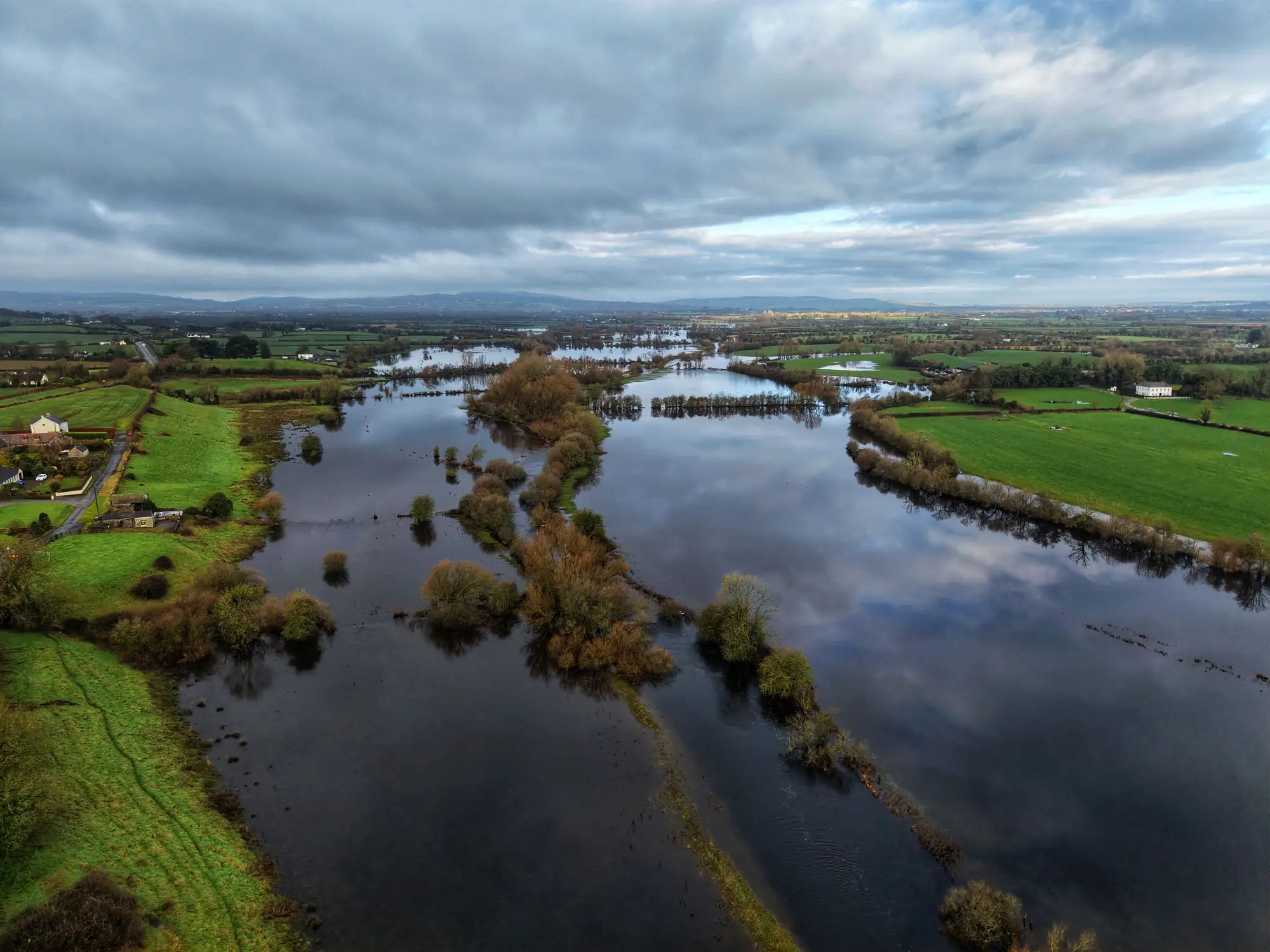
Floods move. That's the part that breaks most "common" pictures fast. A structure fire has a footprint that doesn't change much once it's contained. A flood extent on Tuesday morning can be wrong by Tuesday afternoon, especially with a river still rising or a second band of rain stacking on saturated ground. If your COP is built from a windshield survey someone drove at 6am, or from the last FEMA flood zone map pulled off a shelf, you're briefing the room on where the water was, not where it is.
That gap is where bad calls get made. Resources get sent to an area that's already drained while a neighborhood three miles over is taking on water nobody's tracking yet. Shelter-in-place orders get issued for streets that are fine, and missed for ones that aren't. A stale shared picture stops functioning as shared situational awareness and becomes a document everyone happens to have open at the same time.
What belongs in a flood COP
Strip it down and a usable flood COP comes down to a handful of layers that stay current:
- Current standing-water extent, ideally with a timestamp, not "as of the storm" but as of the last real look
- Known road closures and access points, cross-referenced against that extent
- Critical infrastructure at risk: lift stations, substations, the hospital's backup generator fuel line
- Shelter locations and current occupancy
- Resource positions: where the swift-water teams are, where the sandbag stockpile sits, who's already committed
Most of that list is stuff your EOC already tracks reasonably well. The piece that consistently lags is the first one, the extent itself, because it's usually built by hand from whatever imagery, drone footage, or field reports happened to come in. Someone on the GIS desk is tracing polygons at 2am off a satellite pass that came through hours earlier, trying to get something defensible onto the shared map before the 0600 briefing. That person is doing real, necessary work. It's also the slowest link in the chain, and it sets the clock for the closures, the resource calls, and the shelter routing built on top of it.
Where shared situational awareness breaks
It rarely breaks because people won't share data. It breaks because the data takes too long to produce, and by the time it lands in the COP, the field has already moved past it. A duty officer briefing at the morning call with an extent map that's eighteen hours old isn't wrong to use it; it's often the newest thing available. The fix that matters most is getting a current extent layer into that picture faster after each cloud-free look at the ground, regardless of how polished the display around it is.
That's the specific gap Rapid Flood Mapping is built around: turning a satellite pass over the affected area into a standing-water extent map, delivered as a situation brief you can drop straight into the COP instead of a shapefile someone still has to trace and clean up before anyone else can use it.
If your next briefing needs a current extent layer and not another hand-traced polygon, that's worth a look before the next cloud-free pass comes through.